 Here's a map of the bike routes in Surrey. Keep in mind though, that just because something is labelled as a bike route, does not necessarily make it one.
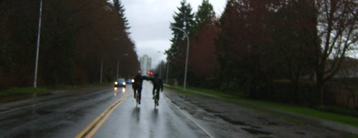
Riding out to Guildford on 100th Ave. the other day, some of us noticed that "bike route" was the narrow strip of shoulder, covered in so much dirt and glass that the painted bicycle icon on the pavement was barely visible. The "bike route" abruptly led into a curb at 148th Street, and turned into a regular lane with solid curb afterwards. Not exactly safe, unless you're riding two abreast and making cars pass you properly!
Also, I remember riding back from Fort Langley and being led by a bike route map down perhaps 100th Avenue again (near 160th Street?), where the narrow busy truck-traffic single-lane had nothing but a gravel shoulder leading into a steep ditch embankment. Fun!
You can download hi-res PDF images of the Surrey bike route maps from the City here. It's interesting that they state the following on the link page: "The Engineering Department is committed that 'all new (transportation) infrastructure shall be constructed bicycle-friendly.'" Let's hold them to that statement!
No comments:
Post a Comment